History · 1245 to 1324
The City Watercourse and the Abbey Stream
Two channels made for the monks and the city, and how to find them on the map.
The City Watercourse
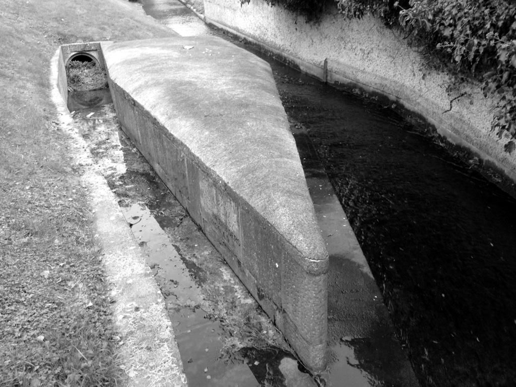
The City Watercourse is an artificial channel. At the Stone Boat, in Harold’s Cross, it took one third of the river’s water: two thirds stayed in the Poddle and one third went into the watercourse, which carried it north-west towards Dolphin’s Barn. Near today’s Basin Lane it turned east along the south side of James’s Street and through Thomas Street into the city.
It was the city’s main water supply for centuries, which is why the 1719 Act of Parliament was written to keep it clean and to stop mill owners starving it of water. A branch of it, the Tenter Water, rejoined the Poddle at Fumbally Lane.
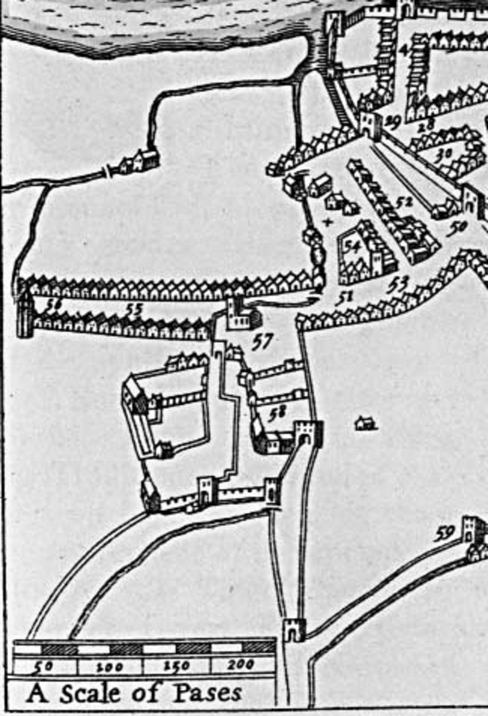
On the map page the City Watercourse is shown as a dashed red line. Only its start and its general direction are recorded in the histories, so the line is an approximate route, not a surveyed one.
The Abbey Stream
The Abbey Stream is the name given on modern maps to a channel that leaves the Poddle near the Hospice and Greenmount, at Harold’s Cross, and runs north-west towards St Thomas’s Abbey. Rev. Myles Ronan’s 1927 map marks a “course of ancient water” heading the same way, across the fields east of the river. Between 1245 and 1324 the monks redirected the river’s course to serve their mills, and this is the kind of channel that diversion would have made.
At Mount Jerome the Poddle itself makes an almost right-angled turn, and Ronan asked whether that too was a diversion made for the abbey. On the map page the Abbey Stream is the amber band; its middle section is under streets, so the link across it is a straight, approximate line.
What the old records say
Older writers describe the two branches at the Tongue in detail. The branch that became the Poddle’s city course ran by Greenmount, under the canal, then by Blackpitts, New Row and Patrick Street to the castle and the Liffey. The City Watercourse proper ran to Dolphin’s Barn and along an embankment called the Pipes to the city basin near James’s Street. A cistern was built near the old reservoir around 1670. The planning file page has the full record.
Two channels, one river
The two are easy to confuse. The City Watercourse leaves the river at the Stone Boat, upstream. The Abbey Stream leaves it further down, at Harold’s Cross, and both were made to serve the abbey and the city.
See the Mount Jerome turn on the river walk →
Watch and read