The river walk
Source to sea, stop by stop
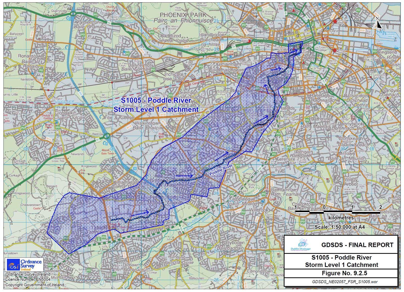
The Poddle’s course has been created and recreated by nature and by people over the centuries. Here we plot it as a single line, above and below ground, as best we can. The map shows the same stops on today’s streets.
- 01Fettercairn HouseTallaghtWhere the catchment begins, in the townland of Whitehall.
- 02BancroftTallaghtThe first stretch of the river you can walk beside.
- 03TymonTymon ParkA ruined castle, a glacial esker and the park built around them.
- 04Balrothery WeirFirhouse, on the DodderWhere medieval engineers turned the Dodder towards the city.Dodder water joins here
- 05M50 CrossingTymon ParkWhere the motorway sent the river underground.
- 06Dodder OverflowLakelands, TerenureA sluice that sends flood water back to the Dodder.
- 07Kimmage ManorKimmageA Victorian MP’s house, now a mission centre, built over the stream.
- 08Ravensdale and Poddle ParkKimmage Cross RoadsA valley of mills, and the scheme’s main flood storage in the city.
- 09The Stone BoatSundrive Road, KimmageThe medieval stone that splits the river two to one.⅓ of the flow leaves for St Thomas’s Abbey
- 10Mount ArgusHarold’s CrossFlood defences in a park, beside the church of a saint.
- 11Mount JeromeHarold’s CrossA Victorian cemetery, and perhaps another monks’ diversion.
- 12St Patrick’s CathedralBlackpitts and the LibertiesBuilt between two streams, and flooded by them for centuries.
- 13Ship Street LittleDublin CastleA sheep market, and a ravine as deep as any dig in Dublin.
- 14Dubh LinnDublin Castle gardensThe black pool that gave the city its name.
- 15Palace StreetDame StreetUnder the castle gate, Dame Street and the Olympia.
- 16Liffey OutfallWellington QuayJourney’s end, under Wellington Quay.