Stop 1 of 16 · Tallaght
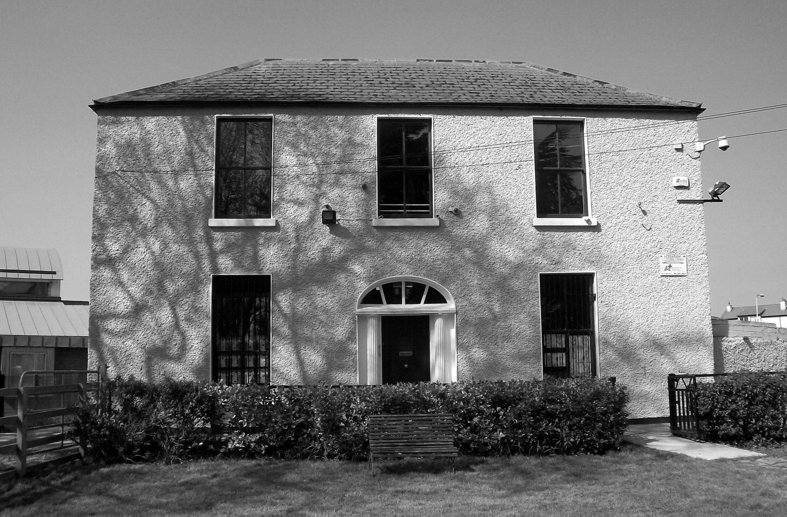
Fettercairn House
Where the catchment begins, in the townland of Whitehall.
Fettercairn House
Fettercairn House (renamed St Mark’s House in 1985) appears on the first Ordnance Survey map of Ireland, printed in 1837.
The house stands in the townland of Whitehall in Tamhlacht (Tallaght). It marks the southern edge of the Poddle catchment, where the stream is known as the Tymon Stream.
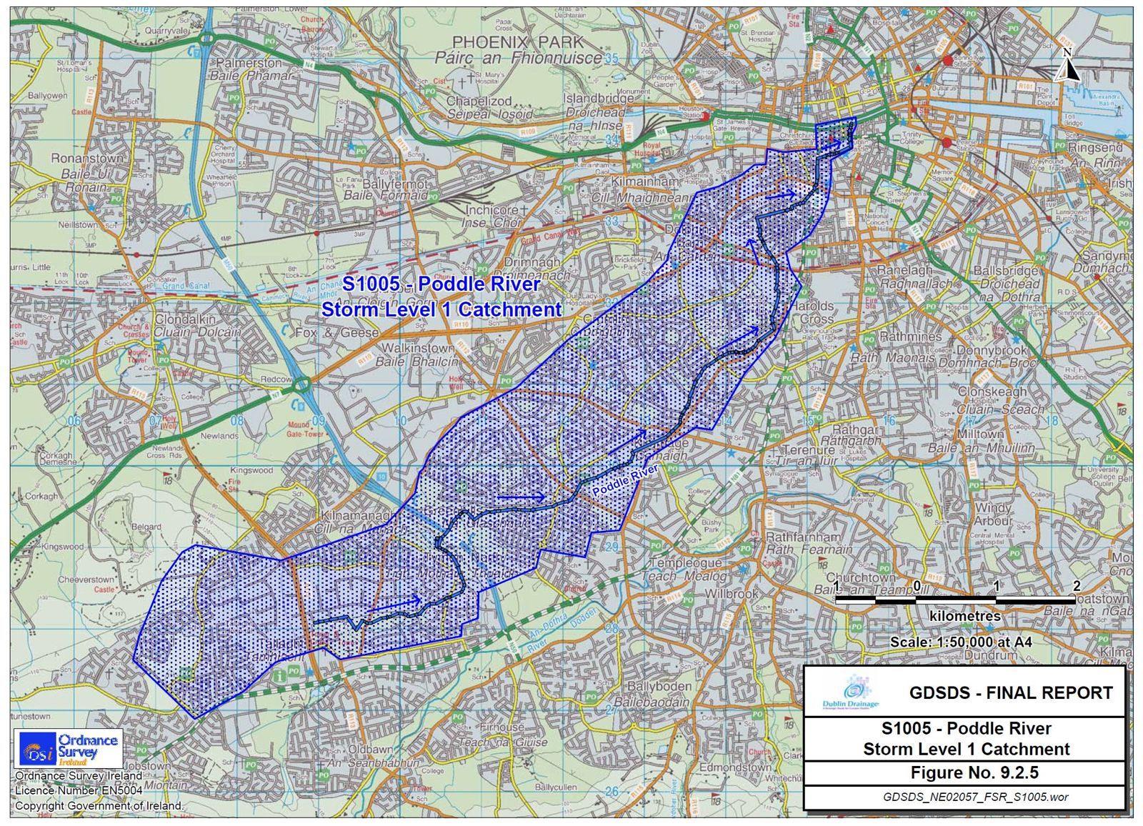
The catchment
The Greater Dublin Strategic Drainage Study (2005) mapped the Poddle catchment beginning near Fettercairn House in Tallaght and stretching north-east through the city to the Liffey.